Crop Mapping & Plot Monitoring
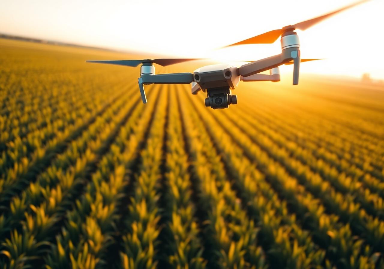
Agricultural Drone Analysis
Flyover of agricultural plots to map crops, identify water stress zones, monitor growth, and optimize treatments. Deliverables compatible with precision agriculture tools.
What's included
- High-resolution georeferenced orthophoto
- Multi-pass growth monitoring
- Detection of heterogeneous zones (stress, diseases)
- On quote based on area and frequency